


From remote highways to rural delivery routes, fleet operations often extend into areas where mobile coverage is disrupted or even not available. For drivers, losing connectivity can interrupt access to the maps and directions they need to reach their next stop.
To address these connectivity challenges, we introduced NextBillion.ai Offline Navigation this quarter, helping businesses keep their drivers on route beyond network coverage. With regional maps and routing data downloaded to the device, driver apps can display maps, calculate routes and guide drivers within downloaded regions, even when an internet connection is unavailable.
Why offline navigation matters for fleet operations
A connectivity gap can affect several parts of a driver’s journey. Map content may become unavailable as the vehicle moves into a new area. A request for a new route may fail to reach an online service. Drivers approaching an unfamiliar stop may have less information to help them find their way.
For operations teams, these interruptions can create extra calls and manual coordination. A driver may need help finding the next stop, while a dispatcher has to work out where the journey became difficult because of low or no network coverage. Building offline navigation into the driver app helps address the navigation part of this problem by making essential regional data available locally.
This makes offline navigation essential for businesses whose fleets operate in areas with limited or unreliable network coverage.
How NextBillion.ai Offline Navigation works
Preparing for an offline journey starts with downloading the right data. NextBillion.ai supports two complementary components: map tiles and routing data. Map tiles display roads and their surroundings. Routing data enables the app to calculate routes and provide navigation on the device.
Businesses can download both components for selected regions before a journey begins. Once the required data is installed, the app can use it when network access is unavailable. The downloaded regions need to cover the journey, including the roads required for any route calculated offline.
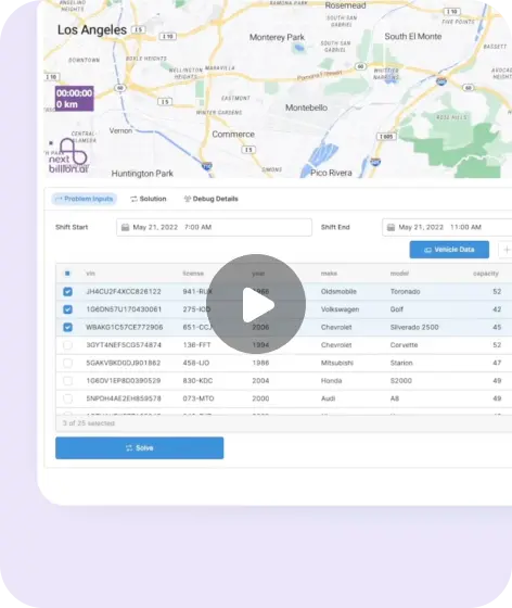
Watch the video here
Key capabilities for driver applications
Offline map display
Drivers can view downloaded map content within the regions stored on their devices. This helps them maintain a visual understanding of the road network and their surroundings when fresh map content cannot be retrieved over the network.
Route calculation and navigation on the device
The app can calculate routes using installed regional routing data. This supports situations such as a driver needing a new route after a missed turn, provided the required roads are covered by the downloaded data and the app is configured for offline navigation.
NextBillion.ai also supports offline map matching, which matches location observations to the road network. This helps the app relate the device’s position to the roads used for navigation.
Regional downloads and data management
Businesses can prepare the regions relevant to their operations through the SDK’s region catalog. The catalog provides information such as estimated download sizes, installed data and available updates, helping application teams manage what is stored on the device.
Applications can display download progress for maps and routing data. The SDK also provides download management controls, including pause where supported, resume, cancel and deletion of regional data. These controls help teams build a download experience suited to their devices and working routines.
Hybrid routing for changing connectivity
Fleet journeys can move between areas with strong coverage, weak coverage and no coverage. NextBillion.ai provides configurable routing strategies so application teams can decide how route requests use online services and downloaded data.
The iOS SDK supports the following modes:
| Routing mode | How it handles route requests |
| Online only | Requests a route from the online service. |
| Offline only | Calculates a route from installed routing data on the device. |
| Online preferred | Attempts online routing, with offline routing as a fallback. |
| Offline preferred | Attempts offline routing, with online routing as a fallback. |
| Smart | Selects the routing source according to availability. |
Teams can choose the strategy that fits their application. For example, an online preferred approach can retain access to online routing while providing an offline option. Fallback depends on the alternative routing source being available when the request starts. Our iOS reference application demonstrates hybrid routing and navigation integration.
Where offline navigation can support fleet operations
The following examples illustrate workflows where preparing navigation data in advance can be useful.
Trucking and regional transport
A transport route may cross long stretches of highway with inconsistent mobile coverage. Drivers may also need guidance on unfamiliar approach roads near a delivery location. Preparing the relevant regions before departure gives the driver app a local map and routing data for those parts of the journey.
For these operations, download planning should account for the full corridor between operating locations, along with nearby roads that may be needed if the driver takes a different route.
Last mile delivery
A delivery round may include stops across urban edges and rural service areas with varying network availability. A driver unfamiliar with the area may need to calculate a route to the next delivery while disconnected.
Offline navigation can support this journey when the stop locations and required regional data are already available on the device. Delivery platforms can make regional downloads part of how they prepare drivers for their assigned service areas.
Field service operations
Technicians travelling to agricultural properties or remote customer sites may encounter unreliable coverage between appointments. Navigation remains an immediate need even when communication with the wider service platform is interrupted.
With the relevant data prepared, the service app can provide local route calculation and guidance within downloaded regions. This gives field service teams a way to support travel between appointments through the app their technicians already use.
Preparing your driver app for offline journeys
A useful offline experience starts before the vehicle leaves. Application teams should identify the regions their drivers need, arrange downloads while connectivity is available, and make download status clear to the user.
Both maps and routing data should be checked before departure because they are separate datasets. Storage requirements and available data updates also need to be considered as service areas change. Offline navigation continues to depend on a usable device location signal.
For integration, our getting started guide explains how to configure the SDK and its download policies. The reference application shows how to bring region selection, downloads, route calculation and navigation together. Teams can use these resources to build and test the experience against their own operating areas and devices.
Get started with NextBillion.ai Offline Navigation
NextBillion.ai Offline Navigation gives businesses the tools to bring downloaded maps and local routing into their driver applications. For fleets working across areas with inconsistent coverage, it provides a way to keep essential navigation available within prepared regions.
Explore our offline navigation documentation to understand the integration, or book a demo to discuss how offline navigation can support your fleet’s routes, driver apps and operating requirements.
Ready to get started?
Request a DemoSubscribe to our Newsletters
Get the best practices for route planning & optimization, delivered to your inbox.
Subscribe