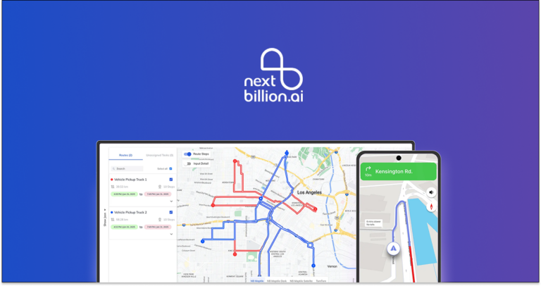

Route Optimization API
Optimize routing, task allocation and dispatch
Distance Matrix API
Calculate accurate ETAs, distances and directions
Directions API
Compute routes between two locations
Navigation API & SDK
Turn by Turn Instructions for Drivers & Technicians
Route Optimization Software
Plan optimized routes with 50+ Constraints
Product Demos
See NextBillion.ai APIs & SDKs In action
AI Route Optimization
Learns from Your Fleet’s Past Performance
Platform Overview
Learn about how Nextbillion.ai's platform is designed
Road Editor App
Private Routing Preferences For Custom Routing
On-Premise Deployments
Take Full Control of Your Maps and Routing
About Us
Our story, vision
and mission
Contact Us
Reach out to us for any product- or media-related queries
Write to us at

Table of Contents
Planning routes efficiently can save you time, fuel, and stress, whether you’re managing a fleet of delivery trucks or just planning a road trip.
In this article, I’ll walk you through the best 10 free route planner software of 2025, highlighting their key functionalities and how they can help streamline your navigation needs. Let’s dive in and find the perfect tool for your route planning requirements!
Evaluate the software’s features, such as route optimization, number of stops allowed, and compatibility with various transportation modes. Consider any limitations in the free version that may impact your planning needs.
Look for an intuitive interface that is easy to navigate and use, especially if you’re managing multiple stops or unfamiliar locations. A user-friendly design reduces learning curves and enhances efficiency.
Check if the software supports offline navigation, which can be crucial in areas with poor connectivity. Consider its data usage requirements, especially if you need to conserve mobile data while on the road.
Now, let’s have a look at the compiled list.
The best free route planner software is:
1. Google Maps
2. MapQuest
3. RouteXL
4.RoadTrippers
5. RAC Route Planner
6. Waze
7. Apple Maps
8. The Dyrt
9. Maps.me
10. Speedy Route
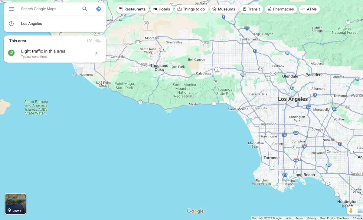
Google Maps is the market leader in mapping technology, revolutionizing how people travel and find places. It is widely used for personal and recreational purposes, as well as for planning various types of routes on phones, tablets, and other devices.
One of the standout features of Google Maps is its turn-by-turn navigation, which simplifies the process of getting from one location to another. Additionally, Google Maps offers innovative features such as Street View, which provides users with a detailed, ground-level perspective of different locations.
Despite the common belief that Google Maps restricts users to including only 10 stops in a single trip, there are methods to bypass this limitation. Furthermore, the technology behind Google Maps has been utilized by numerous other apps to create custom mapping software.
✅ Comprehensive mapping and navigation tool
✅ Easy to use on multiple devices
✅ Offers detailed features like Street View
❌ Perceived limitation of only 10 stops per trip
❌ Primarily used for personal and recreational purposes, potentially limiting its application in more complex route planning scenarios
If you’re not sure if Google Maps is the best choice for you, you can read about the best Google Maps alternatives.
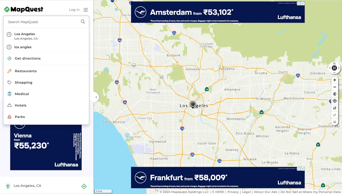
MapQuest, established in 1996, was one of the first in the industry for route planning and has long been regarded as one of the world’s greatest and most popular mapping tools.
As the first commercial web mapping service, MapQuest played a significant role in transforming how maps are used in the United States. Its longevity underscores its reliability and continued use for route planning.
MapQuest provides a variety of features to facilitate route planning and navigation:
Local Search: MapQuest’s local search feature enables users to locate businesses, restaurants, hotels, and other points of interest in the vicinity.
Route Planning Tool: MapQuest’s route planning tool enables users to optimize their travel plans for efficiency, add multiple stops, and customize their routes.
Customizable Maps: MapQuest enables users to personalize their navigation experiences by enabling them to add annotations, markers, and notes to their maps.
Traffic Updates: MapQuest offers real-time traffic updates, which enable users to plan their routes and circumvent congestion.
Integration with Other Platforms: MapQuest facilitates seamless navigation across various platforms by integrating with third-party applications and websites.
✅ Long-established and trusted mapping service
✅ Facilitates route planning and business discovery
✅ Useful for booking hotels and finding essential services
❌ A limited number of stops can be entered for optimal route determination
❌ Not designed to compete with industry-specific routing applications
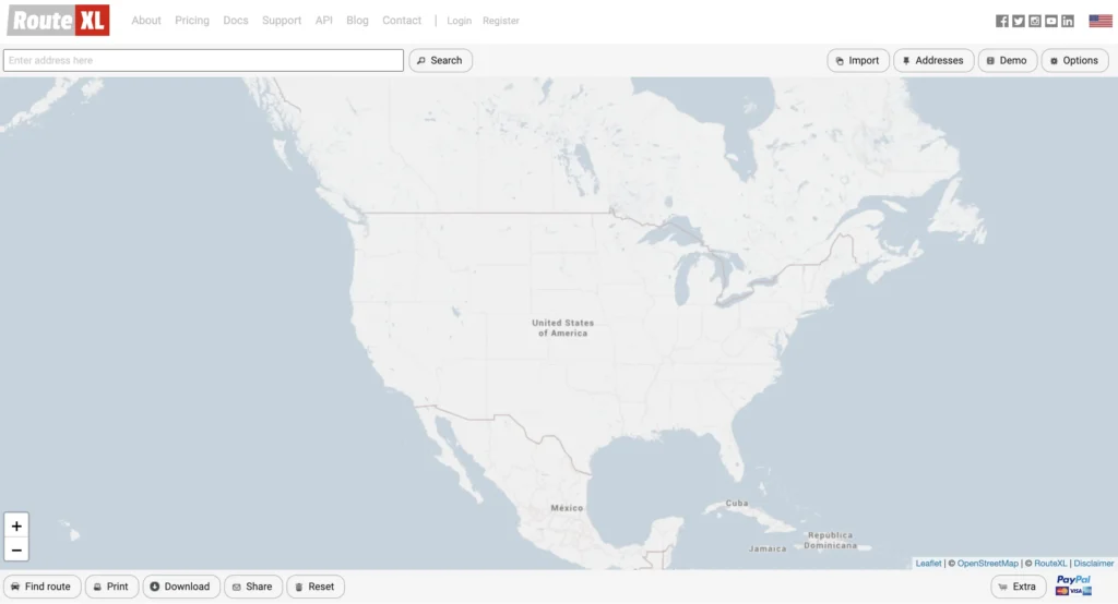
RouteXL is a valuable tool for planning delivery routes, particularly suited for those needing to make up to 20 stops. It offers route optimization in its free version, making it a cost-effective solution for individuals and small businesses.
RouteXL’s features include the following:
✅The free version allows up to 20 stops with route optimization
✅Supports uploading stops via Excel spreadsheet
✅Routes can be shared with phone apps or navigation devices
❌ The user interface is not very intuitive
❌ Limited to planning routes for one car at a time
❌ Can be inconvenient for businesses needing to optimize routes for multiple drivers
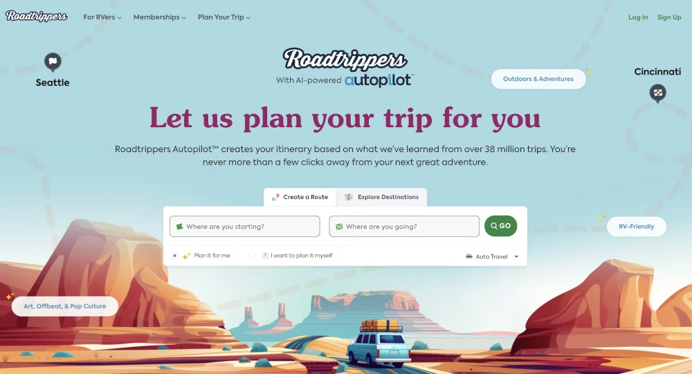
Planning a big road trip can be daunting, but Roadtrippers simplifies the process, allowing you to plan routes with up to 150 stops. It’s an ideal tool for adventure enthusiasts looking to enhance their travel experiences.
Roadtrippers stands out by enabling users to discover interesting places along their route and estimate fuel costs for each trip. Its extensive database allows you to add fun “detours” to elevate your journey. Once your trip is planned, you can easily sync the route to the Roadtrippers app for real-time traffic updates and directions.
✅ Allows planning routes with up to 150 stops
✅ Helps discover interesting places along the way
✅ Estimates fuel costs for trips
✅ Syncs routes to the app for real-time traffic updates and directions
❌ May require a learning curve for new users
❌ Some features might be limited to premium versions

Circuit Route Planner is an app for drivers and small companies that helps them find the best delivery routes. It helps make the fastest and most efficient routes with multiple stops, which speeds up delivery times and lowers fuel costs.
✅ Easy-to-use interface
✅ Accurate ETA and route planning
✅ Saves time and fuel on daily routes
✅ Mobile app available for iOS and Android
❌ Free version limited to 10 stops per route
❌ Advanced features locked behind subscription
❌ No web-based dashboard for route creation
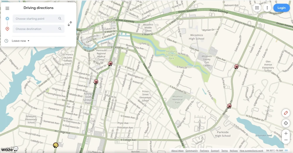
Waze is a widely used navigation application that is renowned for its community-driven features and crowd-sourced traffic data.
Waze supports a diverse consumer base, including commuters, travelers, and individuals seeking real-time navigation support. It is especially beneficial for motorists who are in search of precise traffic updates, alternative routes, and crowd-sourced information regarding road conditions.
The following are the features that Waze provides:
✅ Real-Time Updates: Waze offers users the most recent information on traffic conditions, accidents, and hazards, thereby facilitating better navigation.
✅ Community Engagement: The app’s community-driven features enable users to contribute to and benefit from a collective pool of information, thereby improving the accuracy of navigation.
✅ Alternative Routes: Waze recommends alternative routes to mitigate traffic congestion, thereby saving users time and frustration during their travels.
❌ Battery Drain: The continuous use of GPS and data by Waze can rapidly deplete the battery of a device, particularly during extended trips.
❌ Data Consumption: Waze’s real-time updates consume a substantial amount of data, which may be a concern for users with limited data plans.
❌ User-Generated Content Security: Although community contributions enhance the app’s database, the reliability of user-generated content may fluctuate, resulting in occasional inaccuracies or outdated information.
Apple Maps provides a dependable mapping and navigation solution for users within the Apple ecosystem, featuring intuitive integration with iOS devices and privacy-conscious features.
✅ Native Mapping Solution for iPhone, iPad, and Apple Watch Users.
✅ Privacy-Focused Features: Apple Maps ensures the security and confidentiality of user information by anonymizing location data and minimizing data collection, thereby prioritizing user privacy.
✅ Timely Traffic Data Updates: Apple Maps provides users with hourly traffic data updates, enabling them to stay informed about current traffic conditions and plan their routes accordingly.
❌ Limited Customization Options: The free version of Apple Maps does not support custom map styles or points of interest (POIs), which restricts users’ ability to personalize their mapping experiences.
❌ Occasional Inaccuracies: Although Apple Maps tries to provide precise mapping data, users may occasionally encounter inaccuracies or errors in comparison to more established mapping services.
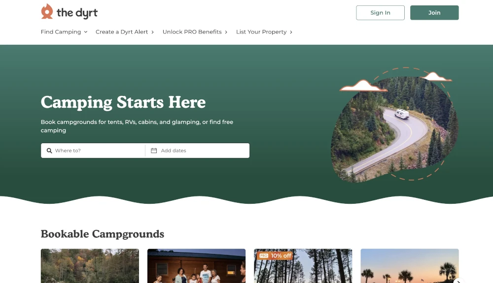
The Dyrt is an ideal tool for outdoor enthusiasts and camping lovers, providing a comprehensive platform for planning road trips and camping adventures.
✅ Customizable routes with up to 25 stops
✅ Features for estimating gas and fuel stops
✅ Over 1 million reviews for finding the best campgrounds
✅ Easy to save, send to Google Maps, or share itineraries
❌ Cost of Subscription: Although Dyrt provides a free version with basic features, the premium subscription may be too expensive for some users, particularly those who only occasionally utilize the app’s advanced features.
❌ Limited Discounts: Although Dyrt provides exclusive discounts and deals on camping gear, the selection may be comparatively limited to other outdoor retail platforms.
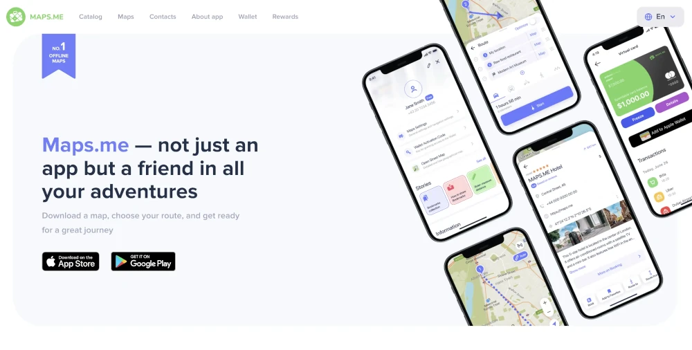
Maps.me is a reliable tool for offline navigation, perfect for users who want to save data or have weak signal strength. It provides comprehensive navigation features for various modes of travel.
Maps.me allows users to download unlimited maps and explore new places along their routes. It supports navigation by car, bike, public transit, and even on foot. The app is suitable for trips worldwide and includes travel guides for popular destinations. Users can navigate confidently without worrying about losing service or data.
✅ Works seamlessly offline
✅ Unlimited map downloads
✅ Supports multiple modes of travel
✅ Includes travel guides for popular destinations
❌ Limited to 5 stops per route
❌ Best suited for shorter routes in remote areas
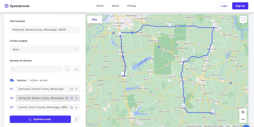
Speedy Route is a free software ideal for drivers needing to efficiently navigate routes with multiple stops. It offers quick optimization of destination order to find the most efficient route, accessible globally with an easy-to-use interface.
Speedy Route includes timeboxing features to ensure timely arrival at designated stops, making it practical for delivery routes. Users can utilize the app for free with up to 10 stops, simplifying route planning for efficient delivery operations.
✅ Efficient route optimization for multiple stops
✅ Easy-to-use interface with global accessibility
✅ Includes timeboxing feature for timely stops
❌ Limited to 10 stops in the free version
❌ The interface may appear outdated compared to newer apps
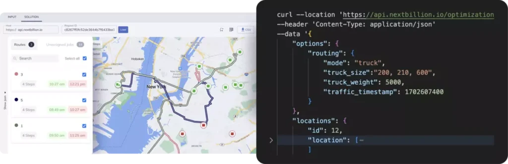
The Route Planner UI Tool available in NextBillion.ai’s Cloud Console (NCC) uses Route Optimization API to provide users with a smooth and easy-to-use experience while streamlining route planning processes. Let’s examine how this no-code tool can change the workflows involved in your route planning:
The tool offers the following capabilities to users:
If you are a business looking to streamline your operations, NextBillion.ai’s Route Planner tool offers the following advantages for businesses:
The Route Planner Tool provides a number of advantages for businesses, including enhanced customer satisfaction, cost savings, and efficiency. Simplify route planning, acquire insightful knowledge, and enhance operations to propel success in the ever-changing market environment of today.
Ready to Optimize Your Route Planning?
Shivangi is a seasoned Technical Writer with a passion for simplifying technical concepts. With over 5 years of experience, she specializes in crafting clear and concise documentation for various technical products and platforms.
Route planning is the process of bringing in a set of orders and putting the right destinations in the right order. Using software that plans routes, you can find the fastest way to get to all of the cities on your list. A route planner can help you get things done faster and better.
A person’s taste and particular requirements are often factors to consider when choosing the best road trip planner, but Roadtrippers is well-known for its wide features. Users can plan routes, find accommodation dining options, and attractions along the way, as well as estimate fuel expenses. Google Maps is another great choice; it’s well-known for its dependable directions, traffic updates, and convenience in locating locations of interest.
Enter your current location and destination in Google Maps to begin creating a road trip. Once “Directions” is selected, click the “+” button next to your destination to add any stops. You can optimize your route by dragging and dropping stops on Google Maps. Once your road trip itinerary is set, you can use the Google Maps app to navigate or share it with friends.
Google Maps platform is free to use and there is no limit to the maps platform. The free usage limits that Google Maps provides for its API services are usually enough for small to medium-sized projects. An example of this would be the number of free map loads per month that are permitted by the Maps JavaScript API. Google charges usage-based fees after this free cap. It’s crucial to visit the most recent cloud platform pricing page for up-to-date information, as these restrictions and prices can change.
Use Google Maps to plan a future route by entering the starting point and destination, then choosing “Directions.” You can select a departure or arrival time by clicking “Leave now” (under the options on mobile or next to the start field on desktop). Decide when you would like to take the trip in the future. After that, Google Maps will show the route based on the usual traffic patterns for that day and time.