


As the world continues its shift towards e-commerce, transportation and logistics demands are growing along with it. In fact, the logistics market is projected to grow to $12.98 trillion by 2027, from $7.64 trillion in 2017
In today’s business environment, where timely and reliable shipping is a must-have in any digital operation, it would make sense for companies to partner with the best logistics and delivery services available. When it comes to these transportation services, GIS solutions and technology are a necessity.
GIS provides advanced visualization for the supply chain
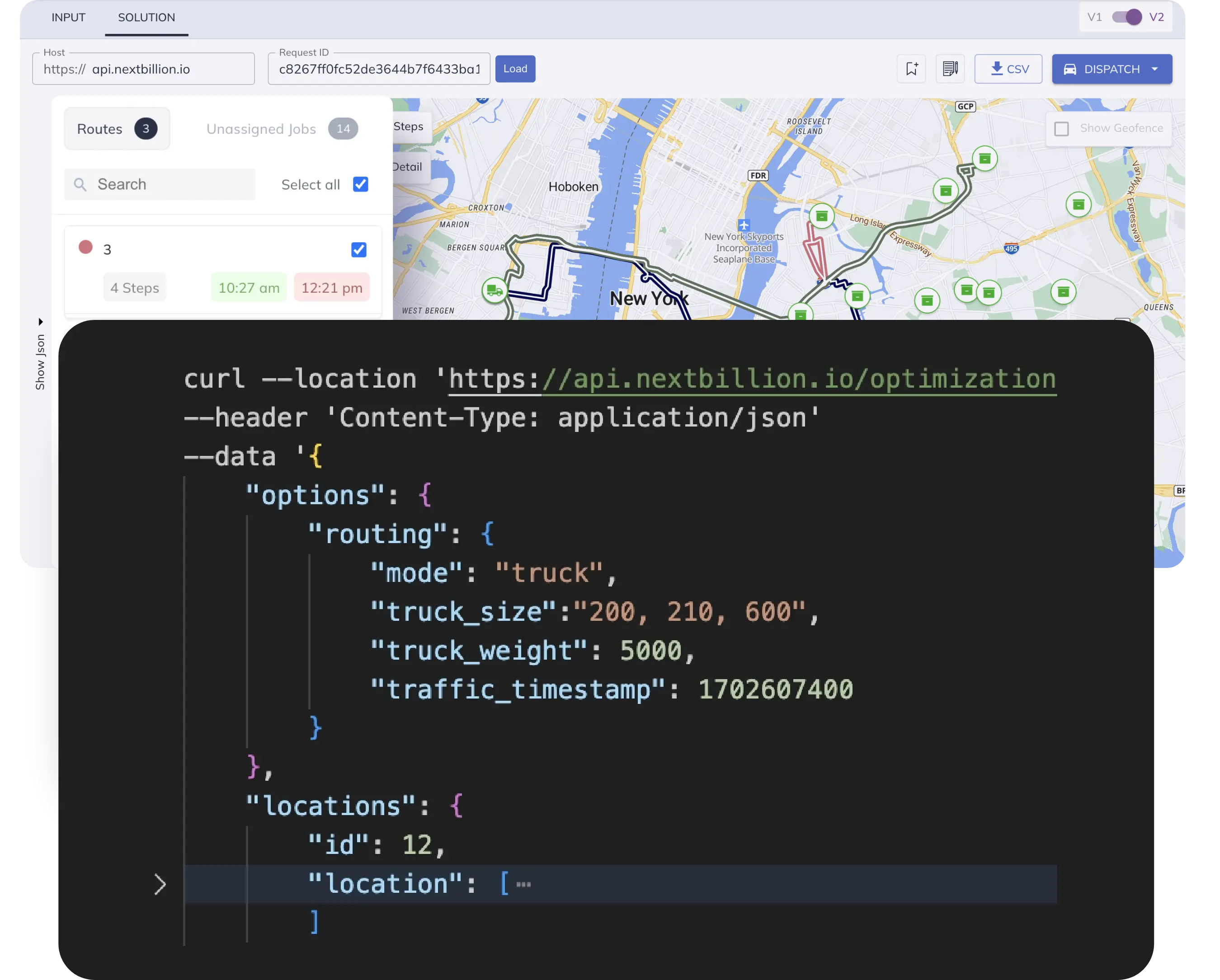
So, what is GIS technology, and what do people use it for? A Geographic Information System, or GIS for short, is a tool that creates, manages and analyzes geographic data. It connects systems with a map that integrates location data and provides descriptive information for navigation and more.
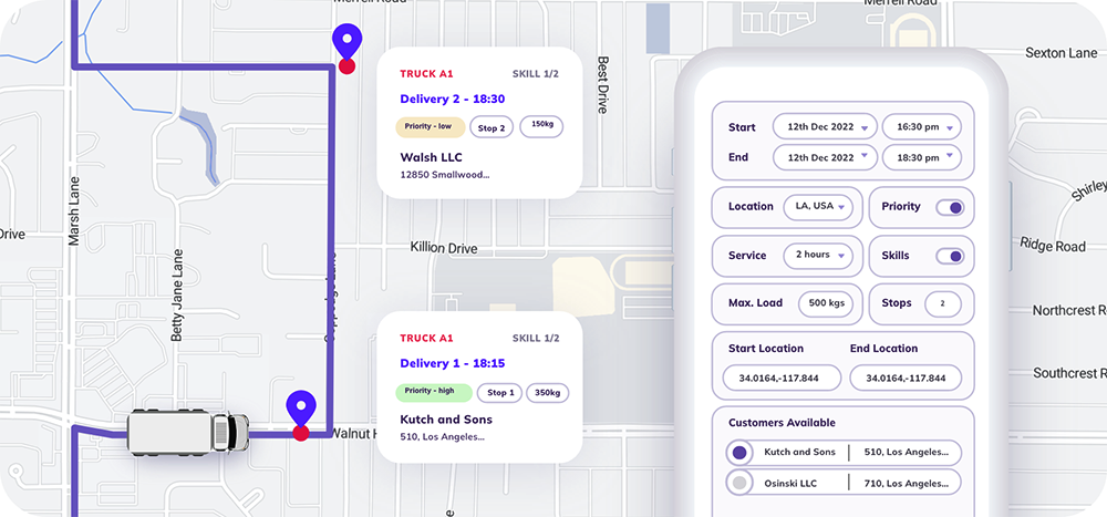
GIS software is an essential component in mapping and visualizing locations. It provides users with directions, estimated travel times, POI data and other important information. The geographic information system is also now a crucial part of any logistics company or business in on-demand deliveries. It can do more than just create a virtual map, although that in itself is a massive value-add to the supply chain. These systems help businesses or users understand patterns and relationships to provide geographic context like traffic, disaster reports and route closures. In its best form, GIS technology provides transporters with real-time data that helps determine the best route to get from point A to B.
Geographic information systems work best in the context of last-mile deliveries and other mobility-based operations. Companies with on-field staff and fleets will find value in GIS, too, while institutions like schools can use this software for their fleet of school buses. There are numerous applications for GIS technology and solutions across industries.
Importance of GIS for supply chain management
GIS software can provide value to various players within an industry’s supply chain management. Anyone who wants to enter a supply chain career path needs to understand the implications of this kind of software on business operations. Here are some of the benefits of using GIS programs in certain use-case scenarios:
1. Real-time planning
Operational delays can cause severe problems for companies with operations on tight schedules. Recently, there has been a great demand for products that can help with the COVID-19 pandemic, like masks, PPEs, and vaccines. Manufacturing these products requires materials to be sourced from various suppliers, who can sometimes be in different cities or even countries. Using a geographic information system can provide data that will help plan and optimize manufacturing schedules in such complex scenarios.
With GIS systems, manufacturers can pinpoint locations for deliveries of raw materials, predict accurate ETAs and delivery durations. Decision-makers can then use this relevant information to plan manufacturing schedules and project output.
2. Customer requirements projection
Using a geographic information system can help companies generate better predictions and analyses for customer requirements. Doing so enables more informed insight into future demand and sales to improve deadweight loss management, delivery schedules, storage facility management and more.
In essence, these projections help improve customer satisfaction. They also enhance operational efficiency by ensuring the company doesn’t underutilize or waste any materials or facilities.
3. Management of potential delays at distribution hubs
Time is of the essence in transportation; even more so in industries where products have an expiry date — medicines, food and other consumer goods. While clients, both B2B and B2C, can understand that some shipments could get delayed, it would be ideal to provide accurate ETAs.
Inaccurate ETAs affect the bottom line, as it tends to lower client satisfaction and disrupt supply chain schedules. Using geographic information systems can provide more realistic transportation time estimates. In circumstances where delays become inevitable, a GIS tool can help recalculate ETAs and monitor progress as the situation develops in real time. This minimizes or eliminates recipient stress and anxiety, making for a better service experience.
4. Risk management
At the core of GIS technology is the ability to give transport companies and logistics teams a way to manage risks. Transport delays can be unavoidable at times, but like most risks in business, they can be mitigated and managed better. GIS tools can provide organizations with information on everything that could affect transit routes, from weather conditions to geopolitical turmoil. This allows teams to reroute or reschedule as needed to avoid any shipment issues.
Applying GIS to last-mile delivery can also help mitigate local risks and reduce last-mile delivery costs. For example, using geo trackers, riders can spot traffic points and get suggestions for alternative routes. The same principle applies to ride-sharing companies and drivers who can reduce gas costs, improve travel time and refine fare accuracy.
Another important use-case for geographic information systems is in emergency response. When ambulances, fire trucks, or other first responders use a GIS, it can cut travel time down significantly, with live traffic data, special routes for emergency vehicles, contextual information and more. Doing so could potentially save more lives in the process.
5. Discover potential product location impact
Product location has a significant impact on delivery quality. Using GIS technology can improve supply chains by quantifying the potential changes that a product’s location source might have on a company’s production schedule and target output.
What to Look for in a GIS Software
32% of GPS tracking users in fleet management reported a return on investment in just 6 months, indicating that the solution could be a great way to diminish costs in the long run and even short term.
With all the benefits of GIS laid bare, the next logical thought is about what GIS software to use. Before looking through a GIS software list, companies should first understand some considerations to help find the solution that best fits their context. Here are important feature points to look for before choosing a solution:
1. Mobility support
Given the mobile nature of GIS applications, mobility support is the first thing to look for in a GIS software. Smartphones and tablets will be a big part of transport operations for the foreseeable future. Ideally, a GIS should have integrations to work seamlessly on a mobile app, but at the very least, it should work well on a mobile browser. Compatibility with low-priced mobile devices is another important factor.
2. Data management
Location management can take up a lot of data volume, fast. Unfortunately, that data gets old and obsolete with time. A geographic information system must have a robust automated data management system that caches important information and then dumps or compresses it to avoid system slow-downs due to heavy data usage.
3. Customizability
While most GIS software are one-size-fits-all solutions, there is room for more customization. For example, a transport fleet management department could optimize a geographic information system for different travel modes and vehicles to more accurately generate ETAs and transit routes for all kinds of transport types.
Conclusion
Organizations that fail to harness the power of location data are setting themselves at a significant disadvantage in everything from business insight and planning to operational cost and time efficiency. Geographic information systems already play a critical role in any mobility-based operation, and their importance will only grow as the location intelligence ecosystem matures further, along with that of AI. The best time to start using these systems was yesterday. The next best time is now.
Ready to get started?
Request a DemoSubscribe to our Newsletters
Get the best practices for route planning & optimization, delivered to your inbox.
Subscribe