


Table of Contents
AT A GLANCE
- 60+ countries supported globally
- ~1 million facility locations to geocode
- 60,000–100,000+ monthly routing API calls
- 24/7 support included in contract
BACKGROUND
This organization is one of the world’s largest integrated logistics providers, operating across ocean freight, inland haulage, and end-to-end supply chain services. Over the past several years, it has been aggressively expanding beyond its traditional ocean business into inland logistics — digitizing its road operations across more than 60 countries.
Central to this expansion is the buildout of a digital master data layer: standardized, geocoded location data for every origin, depot, and delivery point across its global network. Orders flow through a SAP TM execution system, with distance and duration calculations underpinning rate-setting, driver planning, and customer billing.
With millions of API calls anticipated annually across geocoding and routing, accuracy, global coverage, and cost efficiency were non-negotiable requirements.
THE CHALLENGE
The company had been using the incumbent solution as its primary mapping provider. While serviceable in established markets, it had meaningful coverage gaps in key growth regions, and its truck-routing parameters did not fully meet the company’s operational needs. At the same time, distance calculations were still being done manually in many cases — a process that regularly led to disputes between the company and its customers.
Key Pain Points
- The incumbent solution lacked coverage in South Korea, China, and other strategic markets the company was actively entering
- Distance calculations done manually, leading to recurring billing disputes — customers claiming different distances than the company’s records
- No reliable parameterized truck routing: restrictions by vehicle weight, height, length, axle load, and hazardous materials not consistently enforced
- Time-of-day restrictions (e.g., heavy trucks banned from city centers during peak hours) not always respected by the current solution
- No traffic-aware departure time routing for pre-planned shipments
- ~1 million facility locations required geocoding across a fragmented global dataset
Why the Incumbent Solution Fell Short
- Coverage gaps in South Korea and China — markets critical to the company’s Asia expansion
- Truck routing parameters incomplete for the company’s mixed fleet of heavy and lightweight vehicles
- Manual distance calculation workarounds created billing friction and customer disputes
- API response times not optimized for high-volume, real-time logistics operations
- Pricing structure not designed for the scale of a global logistics provider with millions of annual API calls
THE NEXTBILLION.AI SOLUTION
The company evaluated NextBillion.ai as a replacement for its existing solution across two primary use cases: geocoding of facility master data and truck-aware distance and routing calculations for active shipments.
Geocoding API
- Converts addresses and facility locations to precise latitude/longitude coordinates for the company’s master location dataset of approximately one million entries
- Charged per API call — with no re-query cost for already-geocoded locations, keeping costs proportional to actual new data ingestion
- Global coverage extends to South Korea, China, and other markets where the incumbent solution had meaningful gaps
Directions & Distance API
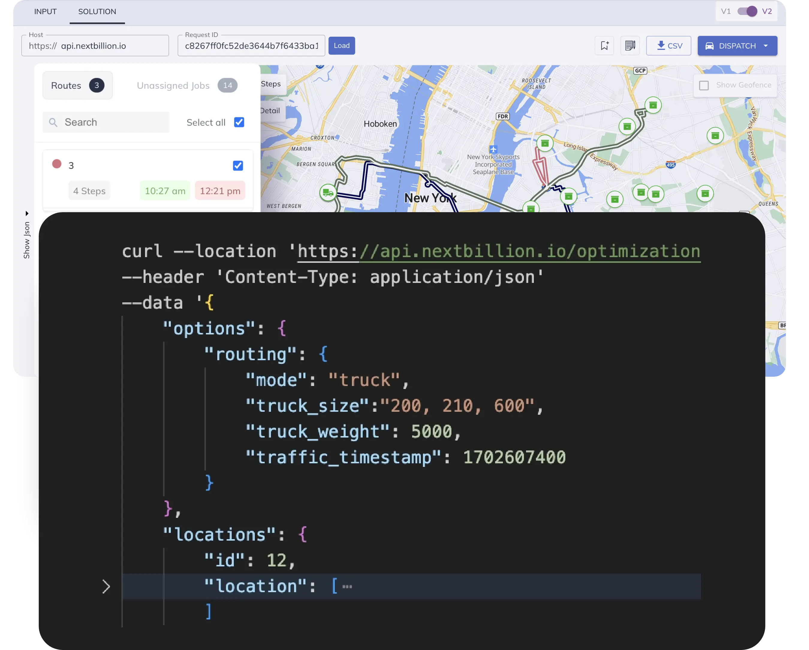
- Calculates route distance and duration between any two geocoded points, with full truck-profile support: vehicle weight, length, height, axle load, and hazmat classification
- Time-of-day departure settings apply historical traffic data for pre-planned shipments — enabling accurate ETA and distance estimates for orders scheduled in advance
- Standardized distance output eliminates the manual calculation disputes that were causing billing friction with customers
- Total route distance returned in the route report, with planned implementation directly in the Directions API response
Infrastructure & Performance
- API response times approximately 4x faster than leading solutions at comparable scale — built on cloud-native infrastructure originally developed for high-frequency ride-hailing operations
- Multi-cloud deployment across GCP and AWS provides inherent redundancy without a separate disaster recovery failover requirement
- Tested via Postman against live shipment scenarios in Spain and Germany, with results benchmarked against existing solution outputs
- No data retention — NextBillion.ai does not store customer query data, addressing enterprise data privacy requirements
RESULTS
Coverage gaps closed — NextBillion.ai’s global data coverage — including South Korea, China, and Southeast Asia — filled the gaps that had blocked expansion of the digital routing layer into key growth markets.
Distance disputes eliminated — Standardized, API-driven distance calculations replaced manual lookups, removing the source of recurring billing disputes with customers and enabling a clean move to distance-based rate structures.
Truck-routing compliance — Full support for vehicle weight, height, length, axle load, and hazmat parameters ensures routing complies with local road restrictions — a requirement the incumbent solution was not consistently meeting.
Traffic-aware pre-planning — Historical traffic data applied at the departure time level allows pre-planned shipments to carry accurate ETAs and distances — improving customer communications and operational planning.
Ready to get started?
Request a DemoTable of Contents
Subscribe to our Newsletters
Get the best practices for route planning & optimization, delivered to your inbox.
Subscribe