The landscapes of cities are constantly changing, and planning for last mile deliveries is an uphill battle — every single day!
Planning and managing last mile delivery operations across multiple locations within a city can get extremely complex for businesses to manage. In this scenario, operational efficiency becomes paramount.
Traditional mapping solution providers focus on generating routing options that cover all tasks within the fewest possible miles driven, but they fail to take into account other variables that can cause inefficiencies to creep in, such as difficulty finding the right doorstep within a large township layout.
To keep this from happening, logistics and last mile delivery planners need to be empowered with up-to-date geomap data, and accurate navigation and routing. But do existing mapping platforms help in planning last mile deliveries with such a high level of detail and precision?
Here are 5 ways in which your current mapping platform is holding you back from achieving optimal operational efficiency:
1. Inaccurate ETAs
Consistently generating accurate ETAs can be quite challenging for traditional mapping solutions because of the staggering number of pick-ups and drop-offs involved in large-scale delivery operations as well as uncontrollable variables like traffic flow and road diversions. More often than not, these mapping solutions provide ETAs in the form of an expected time range, rather than a specific time of arrival.
Solution – NextBillion.ai’s customizable Distance Matrix API is capable of supporting large matrix sizes up to 5000*5000 elements, as opposed to the market standard of 25*25. Our AI-driven API can also ingest historical data to optimize routing based on average speeds, congested routes, etc.
2. Cloud-agnostic deployment
Current mapping solutions must be deployed on a vendor’s cloud platform. This weighs down the performance of your solution with inherent shortcomings like increased latency and reduced throughput. These limitations restrict the scale of your operations, ultimately choking your profitability. Also, your solution provider may have compatibility requirements that force you to use the cloud services of their partners, causing disruption in your existing infrastructure setup.
Solution – Our solutions provide you the flexibility to make API calls from your own cloud environments, thereby circumventing the limitations of public cloud deployments and enabling you to achieve up to 7x lower latency and 20x higher throughput than other mapping solutions. NextBillion.ai also supports cloud-agnostic deployments, avoiding the need for any disruptions in your infrastructure setup, should you choose a cloud deployment.
3. Lack of custom data
Cities are landscapes of constant change — often unpredictable. Development and maintenance cause a lot of unplanned road closures about which information is not readily available. Even planned events can prove problematic; regularly occurring festivals, rallies and other public events may be predictable, but these vary from one locality to the next, and solution providers are rarely able to provide this level of granularity. As a result, delivery personnel tend to frequently encounter road closures that aren’t indicated on their navigation software.
Solution – Our Map Data Management as a Service (MDaaS) offering provides seamless access to constantly updated geodata. APIs can be customized to leverage this data, ensuring that delivery personnel receive timely information before they run into unexpected road closures. Add to this the ability to analyze historical data for frequency of road closures, and we can effectively plan around any road diversions.
4. Lack of vehicle profiles
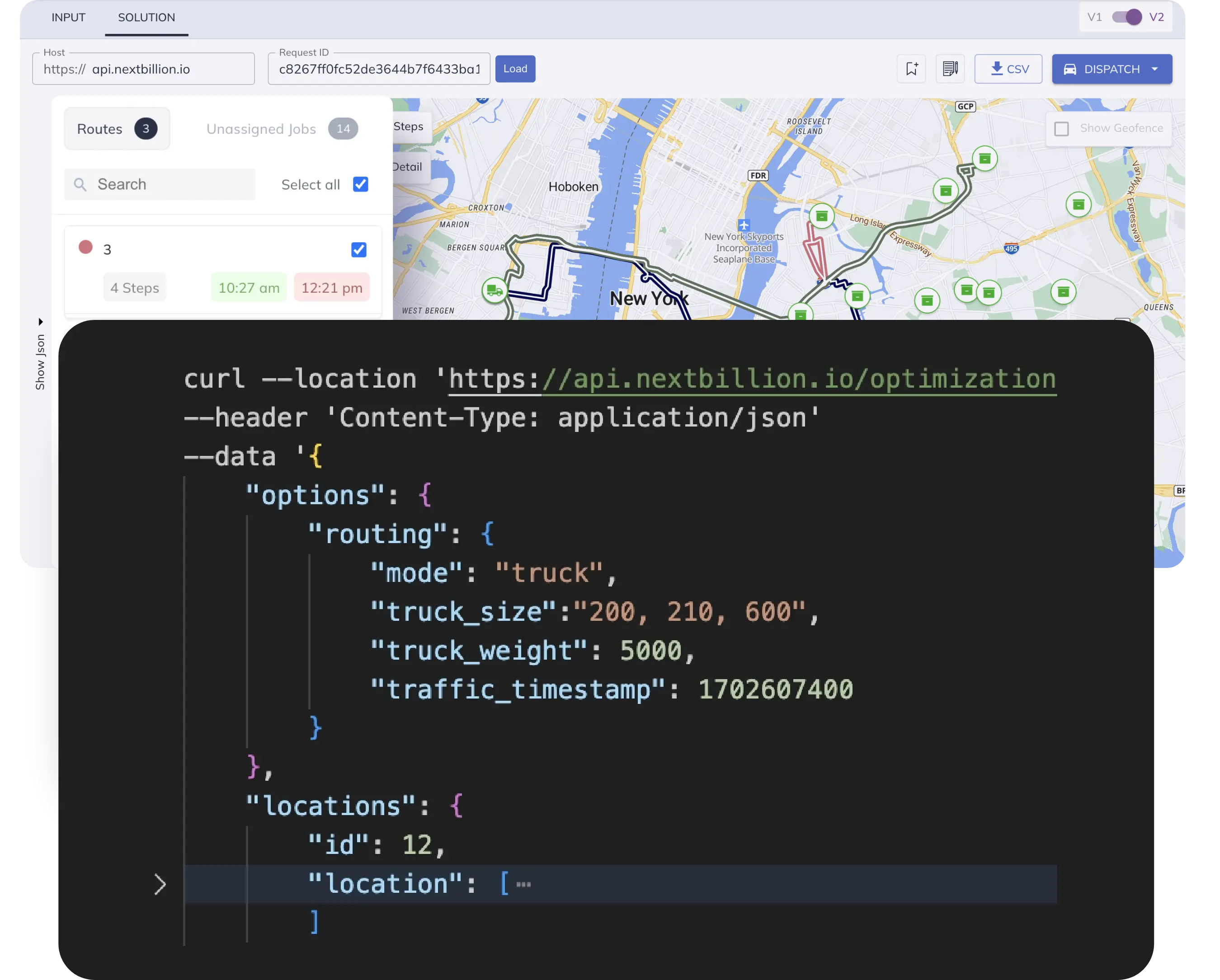
Most navigation tools currently available on the market tend to assume that all vehicles are the same; they fail to differentiate between motorbikes, cars, trucks, vans, etc. Because of this blanket generalization, any delivery operation that runs vehicles other than standard cars will find itself susceptible to inefficiencies. Delivery personnel can sometimes find themselves being guided to roads that aren’t suitable for their vehicles, and rerouting them through permissible roads can also be quite challenging in itself.
Solution – NextBillion.ai offers custom vehicle-specific navigation capabilities. From e-scooters, motorbikes and cars to vans, lorries and trucks, we generate custom routes optimized for each vehicle type. This saves valuable time and money by figuring out the fastest alternate routes for mixed-fleet delivery operations.
5. Last yard inaccuracy
The delivery isn’t complete until the package is handed over to the customer, and delivery personnel deal with significant inefficiencies in this last yard. Large apartment complexes and townships sometimes have labyrinthine layouts with multiple entry and exit points, and may only permit certain access routes to any given building blocks. Traditional maps don’t cater to such specificities, and delivery personnel could waste precious minutes trying to find the right entry and exit points.
Solution – With our custom geocoding and MDaaS capabilities, NextBillion.ai can add whole new layers to existing geospatial data. This makes it possible to accurately map out entry and exit points for specific buildings (along with other information like designated parking spots and elevator access), which helps in saving time getting to the right doorstep.
Last mile deliveries are a crucial part of any logistical operation — it’s in this final stage of the order fulfillment process that businesses incur a big portion of their operating costs. This is also the reason that these organizations usually attach a premium fee and commit to ‘same-day delivery’ or ‘fast delivery’ options for customers. With the potential to impact so many important aspects of the operation, from customer satisfaction to the bottom line of the business itself, we understand that the stakes are high when it comes to last mile delivery.
However, effectively planning and optimizing deliveries on a daily basis requires a deep dive into each pain point and tackling them as individual problem statements of their own. This is not something that most mapping solutions available on the market today are equipped to handle. As the world’s first built-for-purpose enterprise mapping platform, NextBillion.ai’s bespoke, customizable, use-case-specific solutions are engineered to address these existing shortcomings and deliver value that makes a difference for your business.
Want to see what NextBillion.ai’s solutions can do for your organization? Reach out to us or drop us an email at [email protected], and we’ll get back to you to address your requirements.


