Table of Contents
The oil and gas industry is one of the most important industries for driving progress, development, and meeting fundamental human requirements. As an important component of the world economy, it has one of the highest capital investment and revenue levels.
Needless to say, it has been greatly impacted by a variety of oil and gas mapping software solutions designed to optimize, automate, and improve the most important processes in many businesses, just like any other industry.
The integration of GIS (Geographic Information Systems) across multiple sectors, including oil and gas, is expected to develop at a 12.5% CAGR and achieve a market size of US $26.27 billion between 2024 and 2030. With this expansion, businesses are implementing GIS for the oil and gas industry for mapping services.
GIS offers solutions to a range of problems throughout the exploration, production, distribution, and environmental management phases. It helps companies in the oil and gas industry to boost efficiency, reduce risks, and ensure compliance with environmental and safety regulations. Let’s see the importance of real-time mapping solutions in the oil and gas industry.
Introduction to Geographic Information Systems (GIS)
A Geographic Information System, or GIS for short, is a platform for creating, managing, and analyzing geographical data. It connects systems via a map that incorporates location data and provides useful navigational information, among others. GIS integrates spatial data from multiple sources, such as satellite imagery, LiDAR (Light Detection and Ranging), and GPS sensors, to curate accurate and actionable insights.
GIS in oil and gas is a vital tool for mapping and visualizing locations. It gives customers directions, projected travel times, POI data, and other relevant information. These systems employ relational databases and advanced geoprocessing tools, such as ESRI’s ArcGIS or QGIS, to organize complex datasets. It further enables advanced spatial analysis with great precision.
It does more than just produce a virtual map, though even that alone adds significant value to the oil and gas industry. These systems assist organizations or consumers in understanding patterns and relationships to give spatial context, such as traffic, disaster reporting, and route closures.
Applications of GIS in the Oil and Gas Industry
GIS plays a key role in streamlining processes and lowering costs in the oil and gas business.
1. Exploration and Reserves Estimation
This is the first step of the oil and gas lifecycle, and GIS aids in integrating historical records, geological maps, seismic information, and other data to build effective reservoir models. GIS platforms integrate with geophysical data collected via seismic surveys and magnetic gradiometry to condense underground reservoirs.
These interfaces allow the identification of places for resource extraction or drilling. It improves the accuracy of discovering drilling locations and reduces exploration hazards.
An aspect of GIS mapping services helps visualize and model the size of the reservoir, allowing for precise production estimations. 3D subsurface mapping tools, like Petrel or Kingdom Suite, work alongside GIS to level up visualization of geological formations and resource estimation.
2. Pipeline Route Optimization and Planning
Pipelines provide the foundation for moving crude oil, natural gas, and various other petroleum products over vast distances, which can be difficult. GIS is used to optimize routes through planning and design, which involves geospatial mapping solutions of elements such as geography, land use, and environmental sensitivity. With the help of top route optimization tools, companies can reduce environmental disturbance and save money.
Route optimization tools in GIS often consider multiple variables, such as slope analysis and hydrological impact. They also consider proximity to fault lines as an important parameter or variable.
The following are a few key features provided by GIS for pipeline and route optimization.
- Analysis of slope stability and elevation profiles using Digital Elevation Models (DEMs) to assess terrain complexity.
- Integration with SCADA (Supervisory Control and Data Acquisition) systems to enrich real-time monitoring and predictive maintenance.
- Overlay of population density maps and regulatory zones to underrate human and environmental risks.
3. Monitoring Environmental Impacts and Regulatory Compliance

Environmental concerns play an important role in oil and gas operations. Geographic information systems for oil and gas are a great tool for Environmental Impact Assessments since they reveal how operations may affect ecosystems in nearby areas. GIS-based Environmental Impact Modules (EIMs) provide simulation capabilities to predict and reduce ecological disruptions.
Companies can overlay environmental data with operational maps to guarantee that initiatives meet ecological criteria while reducing negative effects on the surrounding area.
4. Asset Management and Field Operations
GIS in the oil and gas industry is important for efficient asset management, including pipelines, rigs, refineries, and storage facilities. It helps with asset management and tracking, allowing operators to identify asset dispersion across geographical boundaries.
Integrated GIS systems utilize IoT-enabled devices for real-time asset monitoring and maintenance scheduling. A new GIS application uses flying sensor technology to collect high-resolution pictures for site inspections. This allows for regular monitoring and change management without the need for costly satellite data acquisition.
Benefits of GIS in Oil and Gas
The geographic information system benefits the oil and gas industry by combining capabilities. These powers aid in data management such as data layering and emergency response planning. They also assist in data exchange and collaboration, and more. Here are some significant benefits:
1. Improved Decision-Making Using Spatial Insights
The capacity to use big data analytics in a GIS framework is essential to this change. By merging spatial data, operational metrics, and external factors, oil and gas businesses may acquire a better understanding of their business. They can make informed decisions while staying ahead of the competition.
GIS-powered dashboards and visualization tools give decision-makers real-time data. It allows them to adapt swiftly to market developments, improve resource allocation, and build innovative long-term success plans.
2. Cost Savings via Optimized Resource Allocation
Using GIS mapping services can result in significant cost savings for a business by streamlining operations and boosting productivity. Selecting a drilling location can save a significant amount of time and money because it prevents the loss of both resources due to an unproductive site.
More efficient pipeline routing and current monitoring eliminate the need for costly repairs. It helps avoid additional downtime, thereby lowering operating expenses. Optimized pipeline routing through GIS can reduce fuel consumption by up to 20%, support avoiding high-risk zones reduce liability costs.
3. Improved Safety and Risk Management
The oil and gas industry’s safety and environmental risks must be monitored in real-time. Although GIS does not directly monitor equipment leaks or failures, it allows businesses to display and analyze real-time data collected from other systems, including SCADA or IoT sensors.
When an incident occurs, the pipeline mapping technology recognizes the problem. By displaying GIS images, the team can respond quickly and prevent further harm. This prompt response not only protects workers but also helps prevent environmental calamities.
GIS Technologies Used in Oil and Gas
Geospatial Information Systems (GIS) are essential components of many sectors and have a wide range of applications for businesses around the world. This technique is being combined with other technologies to develop some practical uses in the oil and gas industry.
1. 3D and 4D spatial modeling tools

Spatial information systems (GIS) collect, process, manipulate, and analyze spatial data using 3D and 4D modeling tools. 3D mapping for oil and gas incorporates a z-value into the mapping, resulting in deep insights and visualizations of climate change, marine ecosystems, and geological occurrences.
4D GIS integrates both 2D and 3D data throughout time, resulting in high-quality visualization, modeling, and communications. It improves decision-making by offering a geographical picture of a project’s scope.
2. Integration with Remote Sensing and Satellite Data

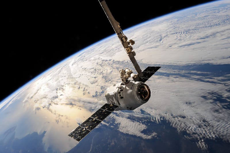
Remote sensing and GIS technologies are becoming used in various sectors, including oil and gas. Satellite-synthesised Aperture Radar (InSAR) can improve terrain resiliency, surveillance, and control of possible hazards, hence improving pipeline safety and efficiency. Interferometry uses satellites to scan the location continuously. Furthermore, terrestrial imagery cannot offer the same wide range of views as satellite imagery.
3. Real-time Mapping via UAVs and IoT Devices

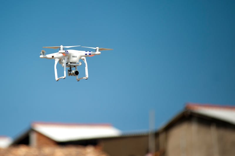
Professional UAVs have a wide range of uses in business, such as aerial surveys or remote sensing for decision-making. This has reduced the reliance on traditional aircraft for data visualization in oil and gas. The oil sector is undergoing a substantial transition as a result of the growing adoption of IoT devices that increase efficiency and lower costs.
Automated tank and pipeline monitoring in distant and dangerous environments is revolutionizing operations. IoT improves operational efficiency by enabling real-time monitoring, predictive maintenance, asset tracking, and increased safety.
4. Predictive Analytics Powered by AI and GIS
The convergence of artificial intelligence (AI) with geographic information systems (GIS) has brought in a new era of possibilities, altering how the oil and gas sectors use geographical data. AI, combined with GIS, enables real-time monitoring and predictive analytics, allowing businesses to control and prevent spills proactively.
AI-powered predictive maintenance lowers downtime and boosts productivity by supporting organizations in anticipating equipment failures before they occur.
Challenges in Adopting GIS
While the advantages of GIS are evident, solution providers in this industry meet a number of challenges that might impede the development, deployment, and adoption of oil and gas mapping software.
As the demand for advanced geospatial solutions rises, these issues must be addressed to guarantee that GIS remains a viable tool for companies globally. Here we will look at the top challenges that GIS solutions face.
1. High Implementation Costs and Training Needs
Implementing GIS systems can be costly, especially for small businesses or companies with limited resources. The costs of GIS software, hardware (like high-precision GPS devices), and data collecting can quickly build up.
Furthermore, many GIS systems require highly trained people to run and maintain them, which increases their overall cost. While GIS technology is advanced, qualified professionals frequently are needed to operate and analyze the data properly.
2. Integration with Legacy Systems and Software
Many businesses rely on a wide range of tools to manage their data and operations, including enterprise resource planning (ERP) systems and customer relationship management (CRM) systems. Integrating GIS solutions with these systems might be difficult due to the need for specialized development and technical skills.
3. Managing Large Volumes of Geospatial Data and Data Accuracy
The complexity and the level of the data with which GIS solution providers operate is one of their greatest challenges. Satellite photography, GPS devices, sensors, and surveys all contribute to geographic data. This data can be in a variety of formats, sizes, and accuracy, making it challenging to manage and integrate into a single system. Data quality is another concern. Inaccurate or obsolete data might result in inaccurate analysis and decision-making, weakening the reliability of real-time mapping solutions.
Overcoming the Challenges: Route Optimization API Helps Develop and Deploy GIS Capabilities for Oil and Gas Companies
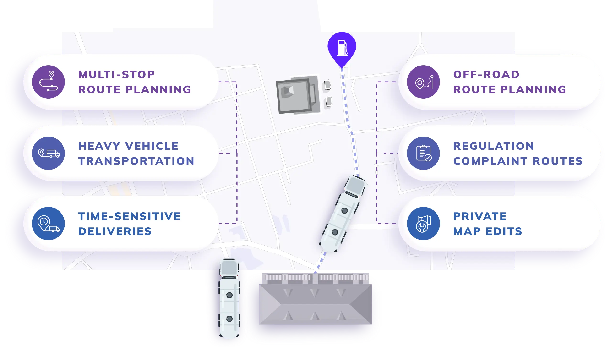
Oil and gas exploration mapping technologies, such as route optimization software, have opened up an extensive range of potential for automation, optimization, and better workflow efficiency, making ready-made solutions extremely popular among businesses in many industry sectors.
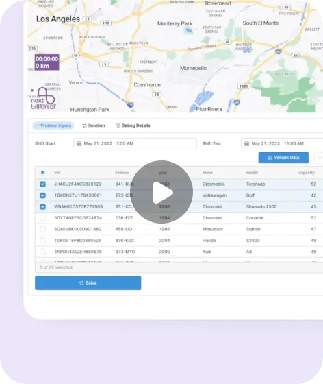
Nexbillion.ai’s Route Optimization API provides current geographical data and insights. This API is a well-rounded tool that provides the optimal routes to maximize asset utilization. It meets your specific demands, with over 50 soft and hard routing limitations and configurable objective functions such as shortest distance, lowest cost, and quickest ETA. This expert API tool can provide all or most of the capabilities required for your oil and gas industry.
Let’s look at the characteristics that make this API tool an excellent choice for the oil and gas industry.
1. Precise Route Allocation
Routing algorithms improve fleet efficiency by taking into account time constraints, vehicle capacity limits, avoidance zones, and real-time traffic data. This system expertly organizes operations for rig moves, fracturing, and product transport by selecting logical routes and assigning tasks for delivery.
Fleets are assigned precise routes that allow them to deliver to multiple destinations without traveling unnecessary distances. By optimizing the routes, it ensures on-time delivery while decreasing travel time, vehicle wear, and fuel consumption.
2. Easy API integration
Integration into existing softwares and systems often makes adaption of new tools difficult; however, NextBillion.ai’s route optimization is based on an API-first approach. It can easily get integrated into your transport management tool or integrated with other logistical systems. You can tailor routes with more than 50 constraints to meet your own company’s needs.
3. Track Real-Time
Real-time tracking allows you to manage fleets of any size better. It provides clear visibility into all operating activities. The technology allows for real-time monitoring of vehicles in various places, including remote exploration and industrial sites. It monitors driver performance and offers rapid route progress information.
4. Simple Dispatch Process
This API simplifies the difficult process of driver dispatch and route management, especially when dealing with unforeseen changes. It supports one-click driver dispatch and route adjustments. It delivers accurate driving and delivery instructions directly to the team, providing clear communication and alignment.
5. Essential Safety and Compliance
Safety regulations must be strictly followed in the oil and gas industry. The AI technology adheres to all compliance standards and safety protocols necessary for managing fleets across several sites. It facilitates regulatory compliance by allowing the collection of electronic signatures or photographic documentation for delivery confirmation. This digital approach streamlines record-keeping helps in dispute resolution, and enables adherence to hazardous materials management regulations.
5. Detailed Analytics
This API provides comprehensive analytical tools with reporting features for tracking driver efficiency, route efficacy, and delivery timing. Using these data-driven insights, you may continuously adjust operations, resulting in increased performance and lower costs. This analytical method allows you to make key decisions and aids in continuous optimization efforts.
Future Trends in GIS for Oil and Gas
The following are a few expected GIS trends and advancements that will help transform the oil and gas industry:
1. AI-driven Geospatial Analysis
The combination of AI, geographical data, and technological advances is already boosting real-world understanding of oil and gas business opportunities, environmental consequences, and operational dangers. It is called Geospatial Artificial Intelligence (GeoAI). GeoAI is accelerating the rate at which insights are extracted from complicated data. It assists in addressing the most critical issues around the globe.
2. Advancements in Remote Sensing and Drone Technology
The sector is rapidly developing, and GIS plays a vital part in this. These vehicles operate using LiDAR and Radar, and geographical information ensures that they can navigate. GIS is essential for producing high-definition maps, combining real-time data from cameras, remote sensors, and GPS, and figuring out the best routes. It enables precise localization, establishing geofencing boundaries, spotting hazards, enabling remote fleet management, and running simulation tests to improve algorithms.
3. Focus on Sustainable Exploration and Development
A Geographic Information System in oil and gas is an effective tool for promoting sustainability and climate action. GIS uses location intelligence to help stakeholders make educated decisions, design focused strategies, and track progress toward sustainability targets.
GIS is critical to establishing a more sustainable and resilient future, from decreasing environmental impact to optimizing supply chains and delivering products and services in a sustainable manner.
4. Cloud-based GIS Solutions
GIS’s potential to deal with complicated issues, such as urban planning and disaster management, increases rapidly as cloud-based solutions and user-friendly interfaces make it more widely available. We are looking at trends such as the integration of multiple forms of data into GIS systems, data portals to facilitate data sharing, and Geo-Hubs to nurture more collaborative working environments and boost community engagement.
Bottom Line
Integrating GIS in the oil and gas industry improves operational efficiency while also remaking how we handle and maintain our resources and safety. By leveraging advanced spatial data analysis and new technologies, companies may accomplish exact monitoring, proactive maintenance, and optimal resource utilization.
This strategic integration results in considerable improvements, providing a competitive advantage and enabling new levels of operational excellence. Using these GIS skills could revamp your approach to industrial difficulties, paving the way for future breakthroughs and long-term success.
If you are seeking the benefits of geospatial mapping solutions in the oil and gas business, NextBillion.ai’s route optimization API can help streamline the management of the fleet of oil tankers and crews to reach a site easily. Besides, NextBillion.ai’s MapFusion is the ultimate mapping solution that integrates the map data from different sources and customizes the route to meet your fleet’s needs.
FAQs
GIS can easily detect potential barriers in pipeline development. It helps pipeline developers set a clear course while remaining cost-effective and efficient. The following are the ways that GIS improves pipeline route planning.
- Identify the most efficient pipe routing. Direct pipe routing is necessary without intruding on already existing structures.
- Plan around obvious obstacles. Pipelines do not always need to go around obstacles; instead, they can attempt to go above, below, or through them.
- Simulate the impact of the new pipeline on the neighboring communities.
GIS (geographic information systems) tools are utilized in the oil and gas industry for a range of applications.
- ArcGIS: It is Esri’s flagship product and one of the most frequently used in GIS mapping, including ArcGIS Online, which converts desktop mapping to a web environment.
- QGIS: It is a free, open-source program that is widely used among mappers.
- Esri Story Maps: It is another free program that provides context along with supporting information, making it a standalone resource.
GIS, together with additional tools such as satellite imagery and paperwork, aids in analyzing land characteristics, environmental concerns, and potential barriers, resulting in the safest and least expensive pipeline routing. The GIS tools and features allow for efficient administration of oil production operations and environmental assessments.
About Author
Bhavisha Bhatia
Bhavisha Bhatia is a Computer Science graduate with a passion for writing technical blogs that make complex technical concepts engaging and easy to understand. She is intrigued by the technological developments shaping the course of the world and the beautiful nature around us.


