Table of Contents
Software interfaces known as navigation APIs (Application Programming Interfaces) give programmers online access to navigation-related features. They often run in the cloud and offer functions like traffic statistics, address lookup, map rendering, and route calculation. Although they can be included into mobile apps, APIs are primarily utilized in web applications.
Software Development Kits (SDKs) for navigation are sets of tools, documentation, and libraries that assist programmers in adding navigation functionality straight into their applications. Usually utilized for iOS and Android mobile development, SDKs can provide more advanced features like offline maps, voice-guided directions, and turn-by-turn navigation.
Key Features of Navigation APIs/SDKs
Mapping: The majority of navigation APIs and SDKs include interactive maps that may be incorporated into apps so that users can see landmarks, places, and other interesting features.
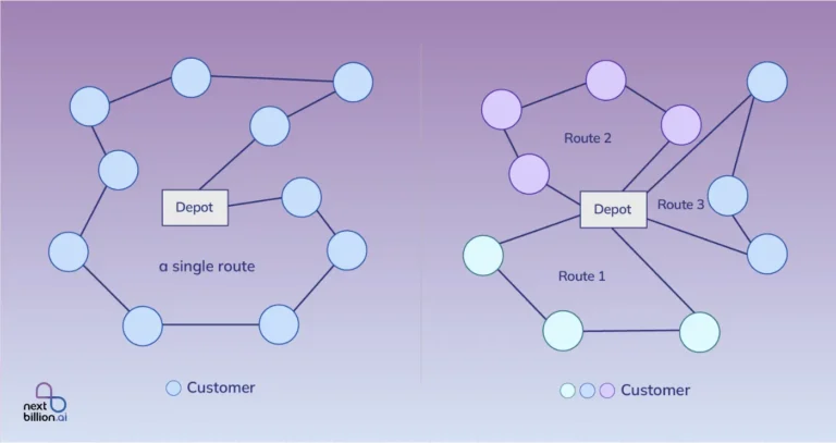
Directions & Routing: They make it possible to plan routes for a variety of transportation methods, such as walking, bicycling, and driving. Multi-stop routes and customized routing based on variables including traffic, road conditions, and vehicle dimensions are provided by certain advanced services.
Geocoding: Addresses are transformed into geographic coordinates (latitude and longitude) using geocoding.
Reverse Geocoding: In contrast, reverse geocoding converts geographic coordinates into legible addresses.
Real-Time Traffic Information: APIs and SDKs frequently offer real-time traffic data, which enables users to steer clear of clogged roads or get anticipated journey times according to the state of the roads.
Support for Offline: Some navigation SDKs enable offline navigation and maps, which is essential for applications that are utilized in places with spotty or nonexistent internet access.
LBS, or location-based services: These features include geo-fencing (activating activities when a device enters or exits a specific area), tracking user whereabouts, and locating local locations (restaurants, gas stations, etc.).
Services like Uber, Lyft, and DoorDash use navigation APIs and SDKs. These applications rely on navigation SDKs for effective routing, arrival time estimation, and real-time tracking. Travel and tourism also use this feature to provide local attractions, trip itineraries, and instructions for public transportation.
These solutions are used by companies that oversee fleets of cars to manage logistics, optimize the preferred routes, and keep an eye on vehicles in real-time time. Fitness applications can also use this feature to track routes and progress when jogging, cycling, or hiking.
Navigation APIs and SDKs are vital for developers looking to add location-based features to their applications. They offer comprehensive tools for mapping, routing, and geolocation, making it easier to build apps that require location awareness or navigation capabilities.
What are the Best Navigation APIs/SDKs?
1. Nextbillion.ai
2. Mapbox
3. HERE Technologies
4. Azure Maps
5. Mapquest
6. OpenStreetMap
7. Bing Maps
8. Tom Tom
9. GraphHopper
10. Esri’s ArcGIS
1. Nextbillion.ai APIs/SDKs
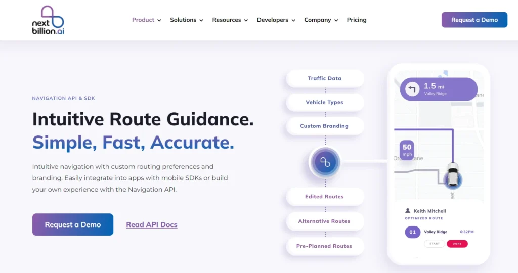
A quick, easy, and accurate navigation solution is provided by Nextbillion.ais intuitive guide. Its adjustable routing settings and branding options, along with its straightforward navigation, allow it to be tailored to a range of purposes.
Use the existing SDKs to quickly integrate it into mobile applications, or use the Navigation API to build a customized navigation experience. This adaptable strategy guarantees that sophisticated navigation functions are seamlessly integrated into your software, improving user experience.
Who is it for?
Nextbillion.ai’s APIs and SDKs are helpful in the trucking business. These APIs and SDKs enhance safety and compliance with customized routes for trucking. It helps the users to get information regarding whether the truck has reached pick-up and drop-off point safely or not. This functionality also ensures if the deliveries are done on time without any issues to the users.
NextBillion.ai Navigation APIs and SDKs Features
Feature 1- Comprehensive Map and traffic data
By combining thorough map and traffic data from numerous credible data suppliers, our technology guarantees dependable routes and precise anticipated times of arrival (ETAs). We are able to provide current navigation information by using a multi-source strategy that takes into consideration geographical variations, road modifications, and traffic situations in real time.
We give customers a more thorough and accurate picture of the road network by merging data from multiple sources, allowing them to navigate with confidence in their particular operational regions while continuously maximizing trip time and route efficiency.
Feature 2- Specialized Routes for Truck
By offering truck-specific navigation that complies with regulations, Specialized Routes for Trucks put the safety of drivers, cars, and cargo first. These routes guarantee adherence to local and industry laws by taking into account crucial elements including truck dimensions, cargo type, and the presence of hazardous goods.
By taking these factors into consideration, the solution assists in avoiding low bridges, restricted roads, and other possible dangers, providing safe and effective routes that lower risks and improve overall operational efficiency.
Feature 3- Import pre-planned Routes
With the help of the Import Pre Planned Routes feature, pre-planned routes may be seamlessly integrated, guaranteeing that drivers follow the designated routes precisely. This feature ensures that the imported routes are followed precisely as intended by silencing the Navigation SDK’s internal routing algorithm, which stops automatic rerouting.
This enables improved navigation control and consistency in arriving at destinations on time, which is especially helpful in situations when route accuracy is essential, such as logistics, delivery services, or regulatory compliance.
Feature 4- Off-Road Maps and Custom Routes
Navigation on private maps and off-road terrain is made possible by Off-Road Maps and Custom Routes, which offer sophisticated navigation features beyond conventional road networks. A more customized and dynamic navigation experience is made possible by this feature, which supports unique time-sensitive route constraints like speed limits, road closures, and designated safety zones.
It guarantees that drivers can navigate safely and effectively, even in places not covered by traditional maps, while following specified route conditions and constraints, making it ideal for industries like construction, mining, and event management.
Feature 5- Accelerate Testing and Integration
Use our pre-built Navigation app to expedite testing and integration, which will help you get your product to market more rapidly. Our mobile SDKs simplify integration efforts by making it simple to incorporate navigation functionality into pre-existing applications. As an alternative, use our adaptable API to create a unique app that meets your requirements.
This adaptable method guarantees a smooth integration of navigation features, cuts down on development time, and streamlines testing, freeing you up to concentrate on providing a top-notch user experience with the fewest possible delays.
Feature 6- Cross-Platform Availability
Because of its cross-platform nature, NextBillion.ai’s Navigation SDKs are available on Flutter, iOS, and Android. Because of their developer-friendly design, the SDKs provide smooth platform interaction, enabling developers to design standardized navigation for diverse user bases. Regardless of the platform, this adaptability guarantees that programs can reach a larger audience while retaining excellent navigation features.
NextBillion.ai speeds up the deployment of navigation solutions and streamlines the development process by supporting numerous development environments.
Pricing
You can try the service out before committing with NextBillion.ai’s single pricing edition and free trial option. With payment choices based on assets, orders, or API calls, their flexible pricing plans accommodate a variety of business types. The following is a description of NextBillion.ai’s pricing plans:
Three price categories are available on the NextBillion.ai platform, depending on different business needs. Small businesses benefit greatly from the helpful features of the basic package, which include base APIs, community resources, and email support.
The second choice is the premium plan, which is suitable for growing companies due to its advanced APIs, premium support, and truck and motorcycle assistance. The enterprise package, which is intended for large organizations, includes a comprehensive product suite, coverage for all vehicle kinds, and specialized solution engineering.
Pros and Cons
✅Efficiency in routing
✅Simplicity in usage
✅Competitive pricing
❌Problems with billing
❌Inaccurate data
2. Mapbox
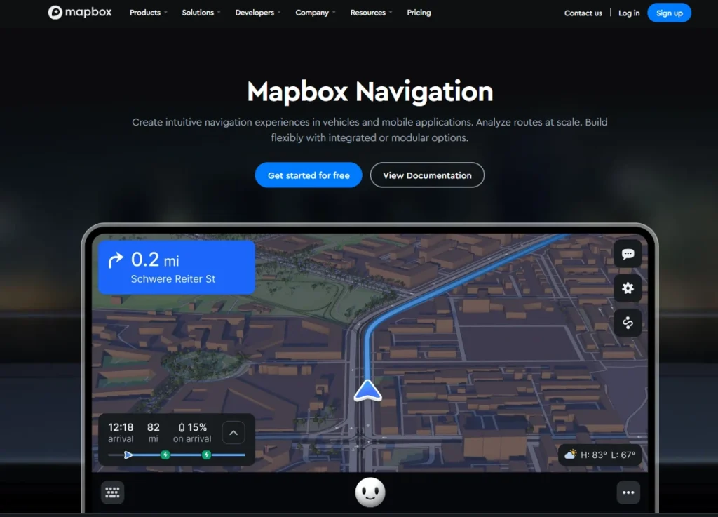
Mapbox offers services like geocoding, address search, real-time traffic, worldwide map data, routing, and navigational guidance. Mapbox is known for its dependability and is preferred by a variety of industries, including business intelligence, consumer apps, logistics, and the automotive sector. Globally, Mapbox powers the location intelligence of apps, platforms, and businesses.
Mapbox is a cloud based mapping platform which offers services like geocoding, address search, real-time traffic, worldwide map data, routing, and navigational guidance. Mapbox is known for its dependability and is preferred by a variety of industries. It provides developers with essential APIs and SDKs to create a customized mapping software to support routing, and navigation.
Features of Mapbox are listed below:
- Map Styling: Mapbox gives developers total control over the appearance and feel of their maps by enabling them to design unique map styles.
- Geocoding: Mapbox lets developers turn addresses into geographic coordinates for their apps with its quick and precise Mapbox’s quick and precise geocoding services let developers turn addresses into geographic coordinates for their apps to examine.
- Location Data Analysis: Mapbox gives developers access to analytics tools that let them monitor and examine location-based data, including user activity and behavior.
- Real-Time Mapping Updates: Mapbox helps developers maintain their maps up to date with the latest information by providing real-time mapping updates.
Pricing
The users can use every product without any payment. There is a big free tier included with every product, so you can sign up and start building right away. You can easily and risk-free explore and experiment with our services thanks to this method.
By offering automatic volume discounts, we show our appreciation for your dedication and devotion as your usage grows. Long-term talks are unnecessary because our pricing smoothly grows with your business to give you the best deal for your growing requirements.
You will also save even more money if you are prepared to commit to an annual plan. Choosing a long-term commitment allows you to benefit from extra savings, which makes it a wise decision for anyone wishing to enjoy our extensive range of services while staying within their means.
Pros and Cons
✅Amazing data processing into tiles.
✅Dynamic layer control based on zoom level.
✅Easy to use interface to design beautiful maps.
❌Can sometimes struggle to load very large datasets but this is understandable
❌Learning how to design maps is a bit of a learning curve
3. HERE Technologies
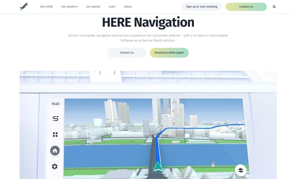
In terms of navigation technology, HERE has a long and extensive history. Maps, Location Services, and a variety of API and SDK solutions comprise the cloud-based mapping suite. Businesses may create specialized transportation-related apps and manage fleets on the road.
From fundamentals like geocoding to traffic and weather data, intermodal routing, and fleet telematics, HERE APIs cover a vast array of extremely helpful data and operations. HERE offers a unique depth of location-based intelligence for the transportation industry, including traffic signals, speed restrictions, bridge and overpass heights, and location-based services like waypoint sequencing and toll cost calculation.
HERE Technologies provides a comprehensive set of APIs for businesses seeking robust mapping and location services. These features include:
- Maps and Navigation: Provides comprehensive maps and turn-by-turn navigation services to meet the needs of apps that need precise route planning and location monitoring.
- Geocoding and Reverse Geocoding: Businesses can easily incorporate location data into their operations by using geocoding and reverse geocoding, which convert addresses to geographic coordinates and vice versa.
- Offline Maps: Because it allows for offline map access, it’s perfect for places with spotty internet or for applications where constant internet access isn’t guaranteed.
- Live traffic data: This feature provides real-time traffic information, which aids companies in route optimization and boosts navigation and logistical effectiveness.
- Extended APIs: Provides extra capabilities for more specialized use cases, such as tracking, location data, and weather updates.
HERE Technologies’ suite of APIs makes it suitable for various use cases across different industries. Companies that require integration of location-based services into their digital platforms can leverage HERE’s APIs for enhanced user experiences.
Live traffic data helps in avoiding congested areas, reducing fuel consumption, and improving delivery times. Given its strength in mapping and navigation, HERE Technologies plays a significant role in the automotive industry. It supports advanced driver assistance systems (ADAS), in-car navigation, and even autonomous driving solutions.
Pricing
With the HERE Technologies restricted plan, you can sign up without a credit card and enjoy a generous free tier. Up to 1,000 free requests are available to users daily across over 20 services, including the HERE Maps API for JavaScript.
For developers and companies interested in exploring HERE’s location services, this plan is perfect. Slack offers free community support for any help that may be required.
The basic plan is perfect for companies and developers expanding their location-based services since it provides a flexible “start free, pay as you grow” model. Users can test out the platform’s capabilities, including the HERE Explore SDK, with generous free tiers per API.
Businesses looking for scalability and cost assurance in their location services might benefit from the HERE Technologies enterprise plan. Its asset-based pricing and Monthly Active User (MAU) features give users choice in how they manage their spending.
The plan offers offline maps for dependable mapping and navigation, even in places with spotty internet, as well as sophisticated capabilities like asset tracking, fleet optimization, and access to the HERE Navigate SDK.
Pros and Cons
✅Location Services
✅Ease of use
❌Setting up difficulty
❌Expensive
4. Azure Maps
Azure Maps is a geospatial service and SDKs that leverage geographic context to deliver web and mobile apps. Azure Maps offers satellite imagery and vector and raster maps in various styles can be rendered using REST APIs. Search engines are used to find locations, addresses, and landmarks worldwide.
For applications that need real-time traffic data, there are views for traffic flow and incidents. Azure hosts a geofencing service that uses location data. Point-to-point, multipoint, multipoint optimization, isochrone, electric vehicle, commercial vehicle, traffic-influenced, and matrix routing are some of the several routing choices.
The Web SDK also provides access to Azure Maps services. Developers can swiftly create and scale solutions that include location data into Azure solutions with the use of these tools.
Pricing
Azure Maps’ newest pricing tier, Gen2, provides volume-based savings on every map feature. Only the services that users actually utilize are subject to payment.
Pros and cons
✅Azure MAp is flexible
✅Easy to use
✅Accuracy
❌Geo-fencing is quite complex to handle
5. Mapquest
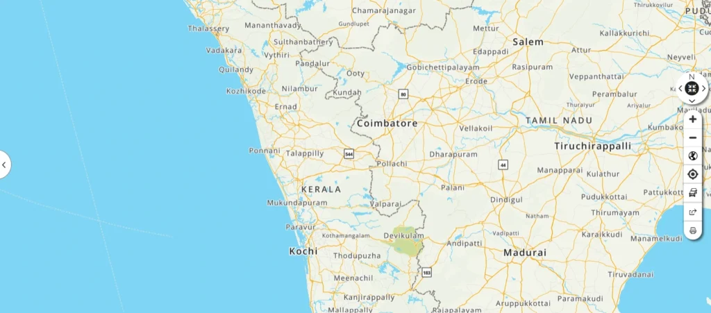
MapQuest is an effective tool that makes route planning and navigation easier while greatly increasing operational efficiency. It helps users save time and improves overall productivity in both personal and business contexts by offering precise maps and real-time traffic information.
MapQuest provides a set of APIs for making experiences based on maps. Its array of capabilities makes it one of the most flexible substitutes for the Google Maps API. below are few notable features of Mapquest:
Custom maps can be embedded on your website or application with MapQuest. The map’s style can be altered to better reflect your company. Additionally, your addresses can be converted into coordinates and vice versa using the geocoding API.
You can use the app to get turn-by-turn directions for various forms of transportation between locations. To assist you in choosing the most effective path, the Route Matrix API furthermore offers journey timings. Use the search API to identify any sites of interest and quickly locate particular areas. In order to optimize your routes, you can also receive real-time traffic statistics.
Pricing
MapQuest has a range of pricing options:
Freemium Plan:
This plan offers limited features for free. The features include Maps, driving directions, and a limited number of API calls . This is useful for short term projects where service consumption is limited.
Premium Packages:
The premium package offers subscriptions or custom quotes based on user needs. This plan has some unique features like traffic statistics, geocoding, routing, greater request limits, and more. This plan is specially designed for developers and companies with more demanding requirements.
Free trial:
Currently, MapQuest does not offer a free trial for its premium plans.
Users usually need to get in touch with MapQuest’s sales staff in order to receive a thorough quote or particular pricing information.
Pros and Cons
✅Provides customization option
❌ Does Not allow plan specific routes
❌Only plans routes for one driver at a time
❌lacks features like delivery time windows
6. OpenStreetMap
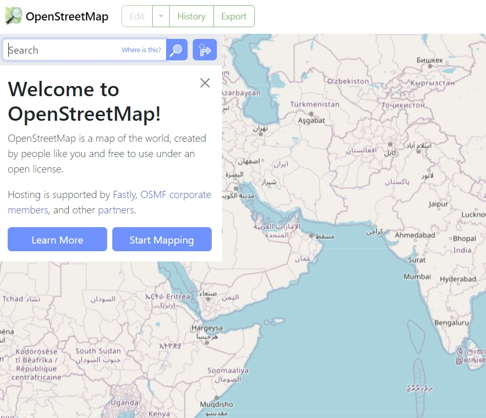
OpenStreetMap (OSM) is a free and open-source map of the world. It is a communal initiative, anyone may modify and enhance the map, making it a highly detailed and ever-evolving resource. OpenStreet maps are a well-liked substitute for Google Maps, particularly among people who respect open data, community service, and privacy.
OSM data is perfect for projects with limited funds or those who value open-source solutions because it is freely accessible for anyone to use, alter, and distribute. A global community of volunteers creates and maintains OSM by adding data, revising maps, and guaranteeing correctness. Especially for local areas, this collaborative approach frequently produces extremely comprehensive and current maps. Applications for OSM data are numerous and include humanitarian mapping, disaster assistance, and navigation and routing.
Pricing
OpenStreetMap is a mapping tool that is entirely free. Therefore, you can use all of its capabilities, whether they are basic or sophisticated, for free if you can get past all of the third-party APIs.
Pros and Cons
✅Functions without an API key.
✅Provides customization and frequent updates
✅Provides detailed map information
❌Uses dozens of languages for the street map report
7. Bing Maps
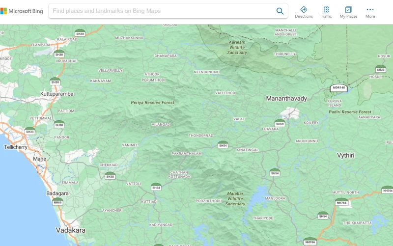
Microsoft’s mapping service, Bing Maps, has many of the same capabilities as Google Maps. It offers streetside views, aerial photography, high-quality maps, and a variety of developer APIs. For users who are already a member of the Microsoft ecosystem or who require particular capabilities, including bird’s-eye views, Bing Maps is a good substitute for Google Maps API.
With comprehensive route networks, sites of interest, and 3D models of buildings and monuments, Bing Maps provides worldwide coverage. Bing Maps offers streetside views and aerial imagery for several locations, making mapping more realistic and immersive.
Developers can include location features into their apps with Bing Maps’ APIs for map display, geocoding, routing, traffic statistics, and spatial data services. Because of its smooth integration with other Microsoft platforms and services, Bing Maps is an obvious choice for those who are currently utilizing products like Power BI or Azure.
Pricing
Basic map display, geocoding, and routing capabilities are among the limited accesses to Bing Maps APIs and SDKs offered by the free tier, which costs $0 per month. It is appropriate for testing or small-scale tasks.
Pay-As-You-Go plan fees are determined by how many transactions or API queries are made.
Enterprise Plan is designed for big companies and organizations that need sophisticated functionality, strict usage restrictions, and committed support. Educational & Non-Profit Discounts have special prices for non-profits and educational institutions that make it more affordable for businesses with tight budgets.
Pros and Cons
✅Close ups on the street 360 is very clear
✅The to and from for directions is very accurate
✅The features are very user-friendly
❌No weather alerts features added
8. Tom Tom
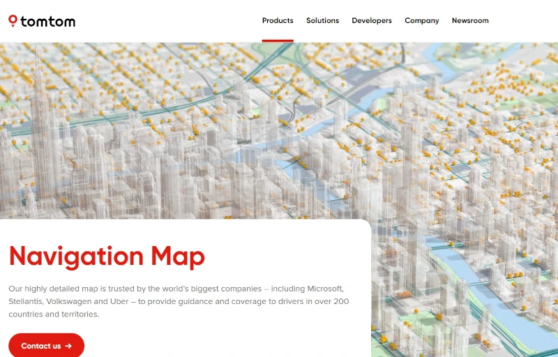
A top supplier of location technology, TomTom Maps is renowned for its incredibly precise and thorough maps, strong navigational aids, and extensive SDKs. Major corporations like Microsoft and Uber trust it, and it provides a robust substitute for Google Maps API, particularly for applications that need accurate navigation, traffic data, and worldwide coverage.
TomTom Maps offers the resources and information needed to develop smooth and effective location experiences, regardless of whether you’re developing an app for navigation, logistics, or location-based services.
With global coverage, TomTom offers up-to-date, precise map data that includes points of interest, intricate road networks, and real-time traffic information. This guarantees precise location-based services and dependable navigation. Comprehensive SDKs and APIs for accessing map data, geocoding, search, routing, and traffic information are offered by TomTom for a number of platforms, including iOS, Android, and the Web. This makes it possible to integrate your apps with ease.
For a more personalized user experience, you may incorporate your own data or POIs and alter TomTom Maps’ appearance and feel to fit your branding. With customized tools and capabilities for certain use cases, TomTom serves a range of industries with specialist solutions for fleet management, logistics, automotive, and more.
Pricing
Freemium: Every day, 50,000 requests for free tiles are made. Every day, 2,500 requests for free non-tile. Credit card usage is not necessary for business applications. Technical assistance through forums and emails.
Get paid as you advance: Every day, 2,500 free non-tile requests and 50,000 free tile requests are made. Use these three prepaid solutions to keep your spending under control. Use the money you paid in advance within a year.
Enterprise plan: An enterprise contract customized to meet your company’s requirements vast TomTom offering that includes data subscription. Subscription models based on assets.
Pros and Cons
✅Dedicated APIs for EV search, geocoding, logistics, and more.
✅Access real-time traffic information with congestion and incident reports.
✅Integrate maps into any site or app with custom animation styles.
❌Lacks advanced capabilities available in other tools.
9. GraphHopper
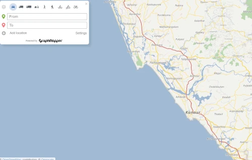
An open-source route planning tool called GraphHopper assists programmers in incorporating location-based functionality into their apps, such as navigation and optimization. For applications with particular routing requirements or those that need offline functionality, GraphHopper is an excellent substitute for Google Maps API if you’re looking for a versatile, adaptable, and affordable routing solution.
With the use of sophisticated algorithms, GraphHopper computes routes rapidly and effectively while accounting for variables such as road type, speed limits, elevation, and traffic conditions. Cars, motorbikes, bicycles (including road, mountain, and other varieties), pedestrians, and in certain places, public transportation are among the modes of transportation that GraphHopper can route.
Routes can be optimized using GraphHopper based on a number of factors, including the shortest distance, fastest time, and lowest fuel consumption. Additionally, it facilitates the optimization of routes for numerous destinations (the traveling salesman problem). Because GraphHopper is so adaptable, you can modify its behavior to suit your own requirements.
Custom vehicle profiles, cost functions, and integration with other data sources are all possible. Because GraphHopper is offline, you may incorporate routing functionality into your apps without needing an internet connection.
This is very helpful for embedded systems and mobile apps. GraphHopper is an open-source project that is being developed and improved by a vibrant developer community. Transparency, adaptability, and ongoing innovation are therefore guaranteed.
Pricing
Additionally, GraphHopper provides a Directions API with premium plans that include:
Premium plan: Up to 200 places upon request, $384 monthly, and 50,000 credits daily.
Standard plan: Up to 80 places upon request, $160 per month, and 15,000 credits per day.
Basic plan: Up to 30 places upon request, $56 per month, and 5,000 credits per day.
Free plan: 500 credits daily, $0 monthly, and up to five locations upon request.
Pros and Cons
✅Easy to set up and use
✅Free seven-day trial
✅Affordable plan options for smaller businesses
❌No video conferencing tools
❌Lacks the ability to send internet faxes
10. Esri's ArcGIS
Esri’s ArcGIS Platform provides a variety of services, including address validation, geocoding, and comprehensive global maps. Streets, terrain, and satellite data are just a few of the many basecamps that are available. You may also add further layers of data, such as traffic, weather, etc., using the platform.
The ability to handle advanced data visualization techniques is what distinguishes ArcGIS. Complex datasets for several locations can be displayed in an intuitive manner by creating interactive maps and dashboards. Tools for conducting geographical analysis with geographic data are also included in the platform. These resources include demographic analysis, proximity searches, heatmaps, and more.
Pricing
ArcGIS Online Subscription Plan Information includes plans that can be renewed on a yearly basis. Technical Support is included as part of the subscription. Service credits are consumed when you use certain services in Esri’s cloud, such as geocoding, hosted feature or tile services, or spatial analysis.
Special plans are available for nonprofits, nongovernmental organizations, and K-12, vocational, and higher education institutions. Non-commercial, personal-use licensing is available.
Additional names can be added to your subscription at any time. Additional named users are available in 5 packs. Add additional service credits to your subscription at any time. Additional credits can be purchased in blocks of 1,000.
Credits added to your subscription are good for two years while your subscription is active.
Pros and Cons
✅Ease of Use
✅Map Creation
❌Expensive
❌Expensive licensing
Conclusion
With so many options for navigation APIs/SDKs, you now have plenty of options for creating powerful navigation applications. A single solution will not function well for all. So you have to select in such a way that it suits your requirements.
Because of its distinctive features and application cases, Nextbillion.ai distinguishes out among the navigation APIs/SDKs covered above. The Nextbillion.ais navigation SDK makes it easier to incorporate complex or assigned navigation functions into apps. This gives users access to navigation features that aren’t offered by the default Android developer tools. Users can enjoy an excellent user experience thanks to this functionality.
Custom map styles, interactive maps, and user-friendly interfaces are all supported by Nextbillion.ai navigation APIs and SDKs. As a result, a variety of applications, such as delivery, fitness, and ride-sharing apps, can use our platform. Select the best and manage your company efficiently.
About Author
Divya Nair
Divya is a dedicated Technical Content Writer with experience of two years in the industry. Her expertise spans various forms of writing, including blogs and website content.

